
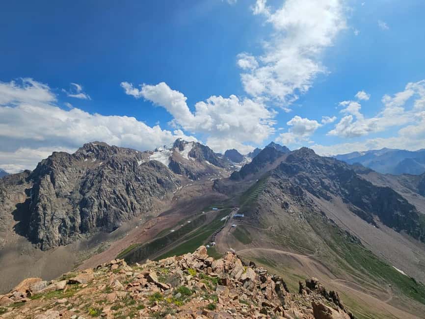
Reviewed · HIKING & TREKKING
Almaty: Advanced Hiking – Four Peaks Hike
Four Peaks Hike near Almaty is interesting because it stacks four major summits into one nonstop mountain day, with panoramic views showing up almost every step. You start in the Kim Asar Valley, climb through alpine terrain, and finish with a cable car descent, so you get the full challenge without being stuck planning your return. What you love most here is the sense of exposure on the ridge, the kind that makes you look up often, not at your feet.
I also like how this is a private guided hike with real safety support built into the plan, including trekking poles, winter traction gear when needed, and even a GPS device since mobile signal can disappear on parts of the route. The main drawback is that this is not a casual hike, the advanced route asks for stamina, secure footing, and comfort moving at altitude, and it is not a good match if you have significant health limits or low mountain fitness.
Key takeaways before you go
- Four peaks, one ridge day that layers Furmanov, Panorama, Bashuta, and Chimbulachka into a single route
- About 2,000 m elevation gain over roughly 11.5 to 15 km, so pace and footing matter
- Private guide and safety gear with poles included, plus winter snow crampons when conditions demand it
- GPS navigation for weak signal areas because this hike is not relying on your phone
- Cable car finish around 3,200 m that turns a long day into a calmer ending
Four Peaks Hike near Almaty: the big mountain day that feels like a movie
This is the kind of hike you pick when you want a full mountain workout in one go. Near Almaty, the Ile Alatau area gives you steep views, jagged ridges, and that classic Central Asian high-mountain feeling where the horizon keeps widening as you climb. Your route links multiple “icon” points into one continuous effort, so you are not just walking to one summit and calling it a day.
What makes it special is the rhythm. You keep gaining, you keep traversing, and then you keep earning more viewpoint after more viewpoint. Even if you think you are a strong hiker, you will still respect the time on your legs, because this is built around sustained altitude and steep sections.
And because it is private, the guide can adapt to how you move. That matters on an advanced route, where small pace decisions can make the difference between feeling in control and feeling cooked.
A few more Almaty departures to line up
- Big Almaty Lake Tour with Optional Hike
★ 4.3 · 109 reviews - Big Almaty Lake tour private or group by car or hiking
★ 4.5 · 46 reviews - Big Almaty Lake tour by hiking
★ 5.0 · 34 reviews
The physical reality check: 2,000 m gain and advanced terrain
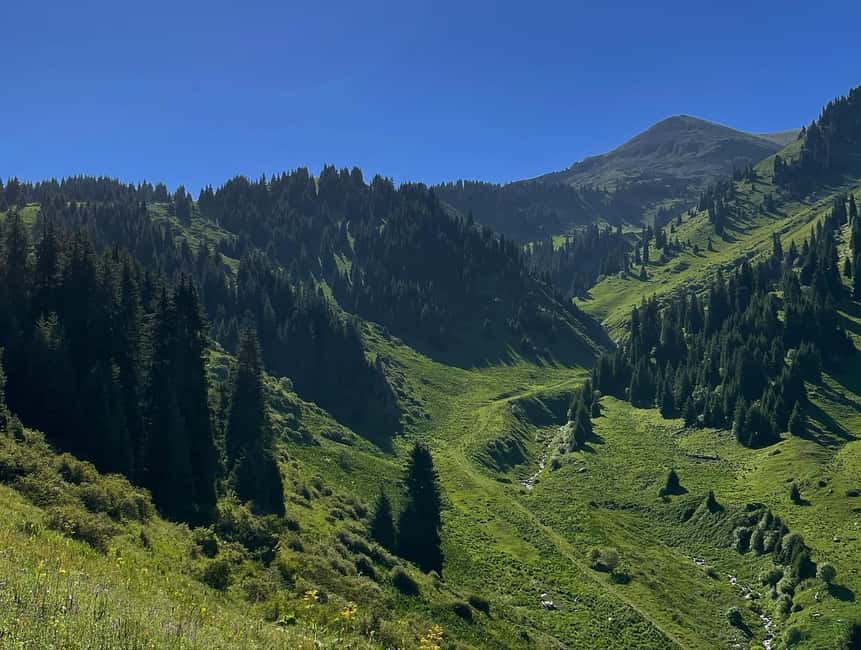
Let’s talk numbers, because they explain the experience. Expect about 2,000 m elevation gain and roughly 11.5 km to 15 km of hiking, depending on the exact route variation and conditions. Total time is listed around 8 to 10 hours, with a day that can stretch when the terrain or weather asks for more caution.
Altitude is part of the challenge. You start around 1,845 m and reach up to 3,450 m at the highest point, then your finishing point sits around 3,200 m near Shymbulak. That jump is not just a statistic, it changes breathing and how your legs feel, especially after long climbs.
This route is labeled advanced, and winter conditions can make it harder due to snow and ice. The tour adjusts in winter, but the key takeaway is simple: you need solid confidence on mountain ground. If you hate slipping even on a wet sidewalk, you should be cautious about this one.
From Kim Asar Valley to Furmanov: the climb that sets the tone
Your day starts in Almaty, then you move toward the mountain area with private transfers. The hiking itself begins in the Kim Asar Valley, and the early part is about establishing rhythm. It is a gradual build-up, and that matters, because once you are higher, every pause costs effort.
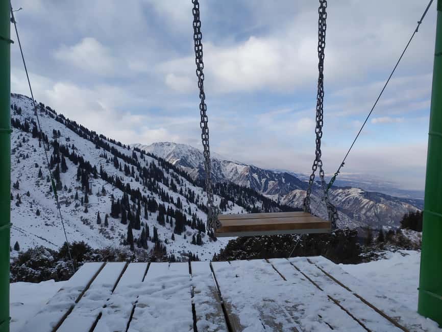
From there, you climb toward the famous mountain swing area before reaching Furmanov Peak (about 3,050 m). This is one of those moments where the view starts paying you back. You get a sense of scale across the valleys and neighboring slopes, and you feel the ridge coming into play.
One practical note: on a route like this, your best strategy is to stay steady. There is no prize for sprinting the first climb, and guides who do this often will usually push you toward controlled effort, not adrenaline.
Panorama Peak, the ridge traverse, and why the views feel constant
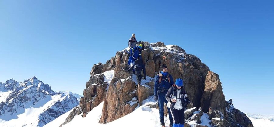
After Furmanov, the trail follows a spectacular ridge line toward Panorama Peak (around 3,200 m). Panorama is named honestly. Once you are up there, you tend to see over Almaty and across the high mountains beyond, with wide sightlines that keep rewarding you.
Ridge routes have a particular feel: you are not only climbing, you are negotiating exposure. Even when the route is manageable, you are constantly aware of footing, direction, and wind. This is why having a guide who focuses on pacing and safety is not fluff. It is the difference between enjoying the ridge and white-knuckling it.
It is also where the day starts to feel long in a good way. Your stops become purposeful, you drink more regularly, and you start timing your energy around the next rise.
More departures from Almaty:
- Almaty: Charyn Canyon, Kolsay, and Kaindy Lakes Day Trip
★ 4.7 · 1,522 reviews - Kolsai, Kaindy Lakes and Charyn Canyon Small-Group Tour
★ 5.0 · 642 reviews - Almaty: Kolsai-Kaindy Lakes and Charyn Canyons Day Trip
★ 4.7 · 505 reviews - From Almaty: Kolsay, Kaindy Lakes and Charyn Canyon Day Trip
★ 4.6 · 452 reviews
Bashuta and Chimbulachka: the long slog that turns into the highlight
Next comes Bashuta Peak (about 3,400 m), followed by the highest point of the route, Chimbulachka Peak (around 3,450 m). These are the moments advanced hikers chase, but the key is that they are not quick stops. You are still carrying elevation gain and time in your legs, and the route keeps its mountain character.
Chimbulachka is the standout in the plan, and it earns that status. When you reach the top area, you get the payoff of a true high-point finish within one day, not a short summit hop.
For many people, the mental shift happens right here. You stop thinking in terms of the next checkpoint and you start thinking about how you will handle the descent. That is another reason a guided setup helps, the guide can keep you moving safely and efficiently on tired legs.
The Shymbulak cable car finish: how you turn a tough day into a win
After the ridge traverse, the route connects to the upper Shymbulak cable car station at about 3,200 m. This is where the hike ends and the descent begins, with a comfortable cable car ride back down.
Why this matters: it protects your legs. After hours of climbing and high-altitude work, a cable car descent is not cheating, it is smart logistics. It lets you end the day without forcing another hour of steep footwork when your stability is already compromised.
You still get scenery during the descent, but you also get to recover. That makes this hike feel more like a full experience than a punishment, especially if you are visiting Almaty and want the next day available.
Guide-led safety: poles, GPS, and the traction you might need
This experience is private, and the safety support is built in rather than added later. You get trekking poles provided for each participant, which helps on uneven alpine terrain and steep sections. If winter conditions are present, the tour also provides snow crampons to reduce slipping, sized to fit winter boots comfortably.
Another detail I really appreciate: the guide carries a GPS navigator. The route includes areas where mobile signal is not available, so your plan is not tied to your phone battery or reception.
The vibe of the guides is also a strong point. You may see names like Victor, Valihan, and Temirlan connected to past bookings, and the recurring theme is being organized and focused on how you feel during the hike. That is exactly what you want when you are dealing with advanced terrain.
Finally, communication is part of safety. The operator confirms details a few days before, and you are asked to provide a mobile number that works with WhatsApp or Telegram so you can coordinate equipment advice and updates.
Price and value: what $210 covers on a private advanced hike
At $210 per person, this is not cheap, but it is also not just someone walking with you. The value comes from what is included:
- Private hotel pickup and drop-off
- Trekking poles provided
- Winter snow crampons if needed
- GPS navigation by the guide
- National park entry tickets depending on the route
- A small local touch: Kazakh chocolate
What is not included is also important. Lunch is not included, and neither is dinner. Insurance is optional, which is normal, but for an advanced hike it is something I recommend you consider seriously.
So is it worth it? If you want a self-guided version, you could try to piece together logistics, but you would be giving up the guide’s routing control and safety support. With a route this physical, I think the private format plus equipment and navigation support are the real reason the price works for the right person.
Seasonal route adjustments: winter reverses the logic
This hike runs year-round, but the route can change based on conditions. In winter, the plan is reversed: you ascend by cable car to about 3,200 m, hike up to Chimbulachka Peak, then descend on foot back to the Kim Asar Valley. It is an adjustment that fits snow and ice realities.
In April and November, avalanche risk is possible, so route decisions matter. Also, cable car maintenance periods in April-May and September-November can affect logistics. That means you should not treat every date as identical, even if you are booking the same named hike.
For your planning, the takeaway is simple: choose dates based on how comfortable you are with weather uncertainty. If you are flexible, you can often let conditions help pick the better route version.
What to pack (and what to bring mentally) for an advanced ridge day
The checklist is straightforward, but the execution is everything on an advanced day.
Bring:
- Hiking shoes with good grip
- Comfortable hiking clothes, plus warm extra layers
- Sunscreen, cap, and sunglasses for bright mountain conditions
Mentally, go in expecting a long effort with real altitude. A moderate level of fitness is required, and “moderate” here should mean you can handle sustained uphill and do not panic if you need a slower pace.
Who this hike is for, and who should skip it
This hike is not designed for everyone. It is not suitable for children under 16, pregnant women, people with heart problems, people over 80, people with high blood pressure, or people with low level of fitness.
If you are an experienced hiker who wants an advanced route with strong safety support and a satisfying end by cable car, this fits well. It also suits you if you prefer a private pace, because you can move at a speed that matches your breathing and stamina.
If you are training for bigger mountain days, this is also a good stepping stone because it combines altitude, distance, and ridge travel in one organized outing.
Should you book the Almaty Four Peaks hike?
Book it if you want one hard day near Almaty that gives you four big summits, constant mountain views, and guided safety support. The private format, included poles, winter crampons when needed, and GPS navigation all add up to real value for an advanced route.
Skip it if you cannot confidently hike for most of the day at altitude, if your health limits make long climbs risky, or if you need a relaxed outing with minimal physical strain. Also, plan for food on your own since lunch and dinner are not included.
If you line up your fitness, pack for cold and sun, and respect the advanced level, this is the kind of hike that makes Almaty feel like the gateway to serious mountains, not just a pretty city base.
FAQ
How long is the Four Peaks hike near Almaty?
The hike is listed at about 10 hours, with hiking time spread across roughly 8 to 10 hours depending on conditions and route version.
How advanced is this hike?
It is rated advanced. The plan is more challenging in winter conditions due to snow and icy sections.
What distance and elevation gain should I expect?
The route covers approximately 11.5 km to about 15 km, with total elevation gain up to 2,000 m.
Where does the hike start and what is the highest point?
It starts around Kim Asar Valley at 1,845 m, and the highest point is Chimbulachka Peak at about 3,450 m.
How does the hike end?
After completing the ridge traverse, you reach the upper Shymbulak cable car station at about 3,200 m, then you descend by cable car back toward the valley.
Is it a private tour?
Yes, it is a private group experience.
What’s included in the price?
Included are trekking poles, winter snow crampons on winter hikes, a guide with a GPS navigator for signal-free areas, round-trip private transfers, national park entry tickets depending on the route, and Kazakh chocolate.
Is lunch included?
No. Lunch is not included.
Is the tour guide available in English?
Yes. The live tour guide language is English.
How does winter change the route?
In winter, the route is done in reverse: you ascend by cable car to about 3,200 m, hike to Chimbulachka Peak, then descend on foot to the Kim Asar Valley.
Recently added from Almaty
- City Pub Crawl Almaty★ 5.0 · 3 reviews
- Altyn Emel, Singing Dune, Charyn canyon, Kolsay, Kaindy lake 4 days tour★ 5.0 · 3 reviews
- Kolsai Kaindy Lakes with Charyn Canyon Lunch Included★ 5.0 · 3 reviews
- Charyn Kolsay Kaindy Private Tour★ 5.0 · 3 reviews
- Big Almaty Lake and City Private Tour★ 5.0 · 3 reviews
- Almaty Airport Transfer Mercedes V-Class★ 5.0 · 3 reviews
- A private Shymbulak-Medeu on a cable car★ 5.0 · 3 reviews
- Lake Issyk Tour with the exclusive trout farm and lunch★ 3.5 · 3 reviews
Hiking & Trekking, compared.
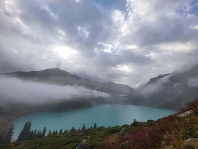
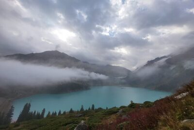
Big Almaty Lake tour private or group by car or hiking
Read our review →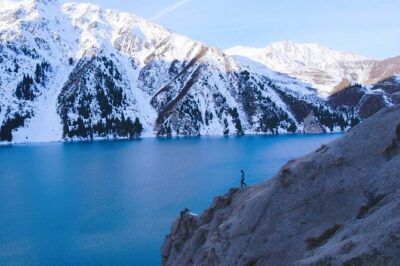
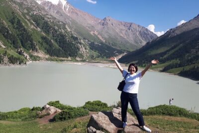
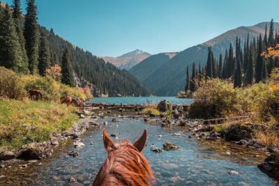
3-Day Private Horseback Riding and Hiking Tour in Kolsay
Read our review →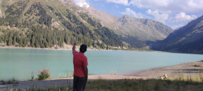
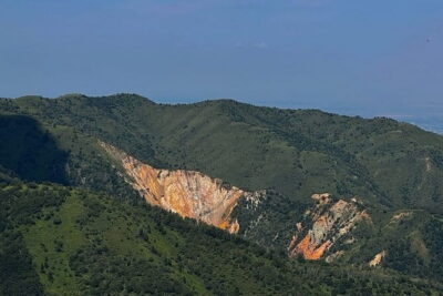
Shymbulak to Bogbanovisch Glacier and Oktabriskaya Hike
Read our review →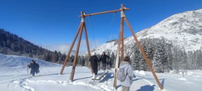
Browse the lists this tour appears in